Rēgas 1797
Charta tēs Hellados en hē preiechontai ai nēsoi autēs [kai] meros gōn. Vienna : Franz Th. Müller, 1797. |
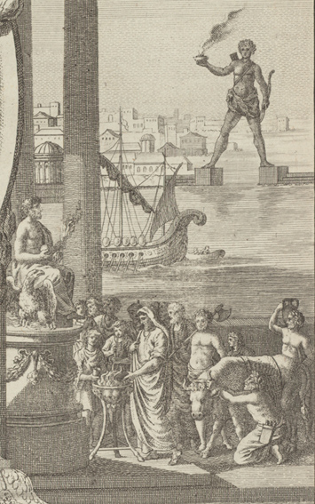
Rēgas employed the art and science of cartography as a means of championing Greek independence. His map of Greece spoke so eloquently of his aspirations that the Ottomans banned its distribution, and, a year after its publication, executed its author. Besides adopting much of its geographical content and the basic design elements of the cartouche from Guillaume Delisle’s Graeciae antiquae tabula nova (1707), Rēgas also borrowed the image of an ancient Greek theater and seven topographical plans (Plataea, Salamis, Athens, Thermopylae, Sparta, Olympia, Delphi) from the work of Barbié du Bocage. However, he expanded the scope of the Delisle map to include much more of the Balkans, and he inserted allegorical imagery to suggest Greek regeneration (the myth of Deucalion), expansion (the Argonauts), and the struggle between East and West (Hercules fighting the Amazon). The other prominent decorative elements sprinkled throughout the map are 161 Greek and Byzantine coins—symbolic of the antiquity of Greek civilization. In the second edition of the map (1800), after Rēgas had been executed, the allegorical figure of Greek civilization atop the cartouche (only armed with a quill and caduceus in the 1797 map) is fitted with a helmet, spear, and Athena’s shield.