
Tess Kelley, Harvard College ’23, reports on a recent curator talk at the Harvard Map Collection.
If you’re ever stuck in Dante’s seventh circle of hell or not sure where to start off your next Fortnite game, the Harvard Map Collection has a map for that.
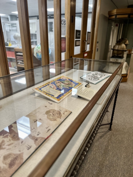
Its most recent exhibit, From Academieland to Zelda: Mapping the Fictional and Imaginary, showcased fictional settings in map form. Many came from books, TV shows, and video games. Some of the maps did not illustrate geography at all but rather mapped out more abstract concepts: two maps took opposing takes on the many phases of love, while another, now slightly outdated, reimagined the Internet in map form.

The exhibit closed in early February, after a nearly three-month extension, and culminated in a curator talk given by Bonnie Burns, Head of Geospatial Resources at the Harvard Map Collection. To highlight the diversity of maps in the exhibit, Burns focused her talk around twelve superlatives.
The oldest map: a 1720 drawing of Utopia, featuring the Kingdom of Drinkers, Fool’s Paradise, and other destinations that are “to use a technical term, bonkers” as explained by Burns. “If this place is Utopia, I want no part in it,” she remarked to a nodding audience. The newest: a map of the kingdom of Hyrule from the 2017 video game The Legend of Zelda: Breath of the Wild. Created by a Reddit user, the map adds new features to the in-game version available to the player.
The Breath of the Wild map also took the prize for largest. The smallest? A map of the 1973 classic The Princess Bride. Nestled into a book cover, the map showcases key plot points such as the pursuit of the Man in Black.
Contenders for “map with the weirdest shape” included a dragon-shaped map of Pyrrhia, the fantasy world of dragon kingdoms from the children’s series Wings of Fire. However, Humbead’s Revised Map of the World ultimately took the prize for combining San Francisco, Los Angeles, Berkeley, New York City, and Harvard’s own Cambridge into one “free-love Pangaea,” in the words of Burns. Another repeat winner, Humbead’s Revised Map of the World took the prize for the map with the most cultural references, with a border featuring a slew of famous names including John Lennon, Ringo Starr (no Paul McCartney), Dr. Seuss, and Bob Dylan. It beat out a 2003 map of the Simpsons’ Springfield — possibly due to the map’s curious omission of Moe’s Tavern.
Before introducing the most divisive maps, Burns clarified that the Library takes no official opinion on the controversy. She then presented a map of the Star Trek universe along with a map of its Star Wars counterpart, symbolic of a classic sci-fi rivalry.
While the map of utopia could have easily won “most dystopian,” Burns instead gave this award to a more unlikely candidate: a map of the island of Sodor, the home of trains in the children’s television show Thomas & Friends. Burns convinced skeptics in the audience by explaining the grisly punishments doled out rule-breaking trains. Similarly unpleasant, Charting Your Course Through Life won “most depressing.” Created by MetLife Insurance, the map documents all the potential for injury and death throughout one’s life: divorce, appendicitis, and accidents, among many others.
Contrasting with “most depressing” and “most dystopian” were “most beautiful” and “most uplifting,” awarded to maps of Narnia and the city of Geopolis, respectively. While Narnia likely rings a bell, Geopolis is the setting of Katy and the Big Snow, a heartwarming — and librarian-approved — story of a snowplow trying to do her job. Geopolis beat out a map of Loveland, an optimistic map of the joys of relationships that was “a little saccharine for [Burns’] taste.”
These eleven superlatives took the audience on a whirlwind tour of cultural touchstones, from the beloved to the controversial. It was only fitting, then, that Burns awarded the final superlative of the talk, “map used most often in this presentation,” to the iconic hometown of the classic cartoon The Simpsons.
Although this exhibit has ended, the Harvard Map Collection is currently hosting an exhibit on the xkcd comic series created by Randall Munroe. To plan your visit, view their hours here.