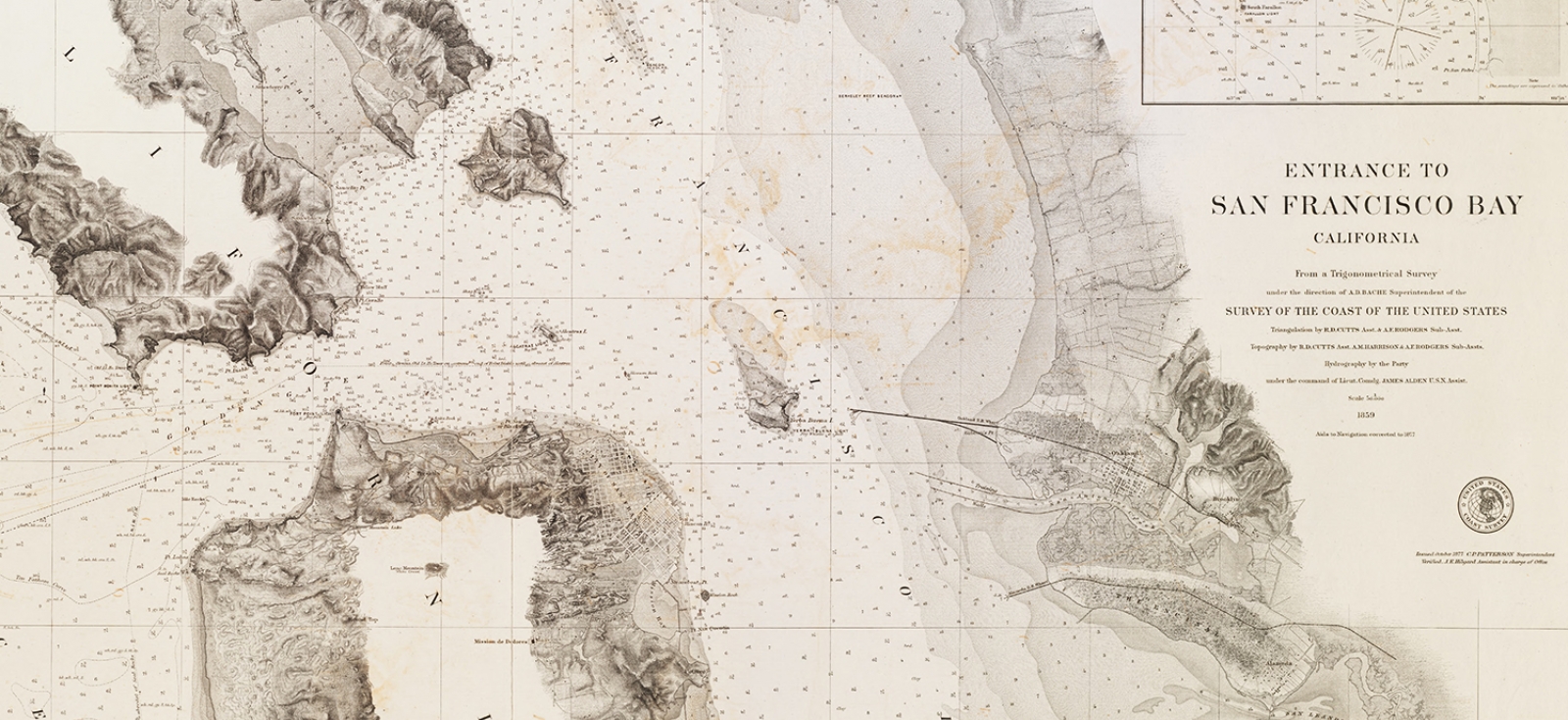
United States Coast Survey, Entrance to San Francisco Bay, 1877.
View Details.
Harvard Map Collection
The Map Collection maintains a collection of nautical charts from the 18th to the 21st century, mainly, but not exclusively, of the United States.
The nautical chart collection of U.S. waters includes the U.S. Coast and Geodetic Survey 19th Century and 20th Century charts, and the NOAA Charts.
The nautical chart collection of world waters includes, among others, British Admiralty Charts, Defense Mapping Agency Hydrographic Charts, and the Naval Hydrographic Office of India Charts.
Accessing These Materials
Some nautical charts have individual records in HOLLIS, but many more are available only as individual items within larger series. If you are having trouble finding any specific chart, feel free to contact the Map Collection directly.