This exhibition presents some highlights of the 1,200 maps and 64 atlases from the European Renaissance in the Harvard Map Collection. Nearly a quarter of these were part of the 1818 purchase of the collection of Professor Christoph Daniel Ebeling (1741-1817) that launched the Harvard Map Collection.
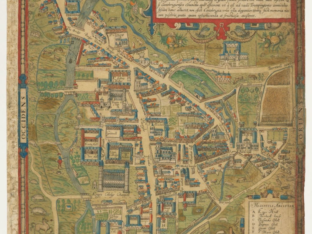
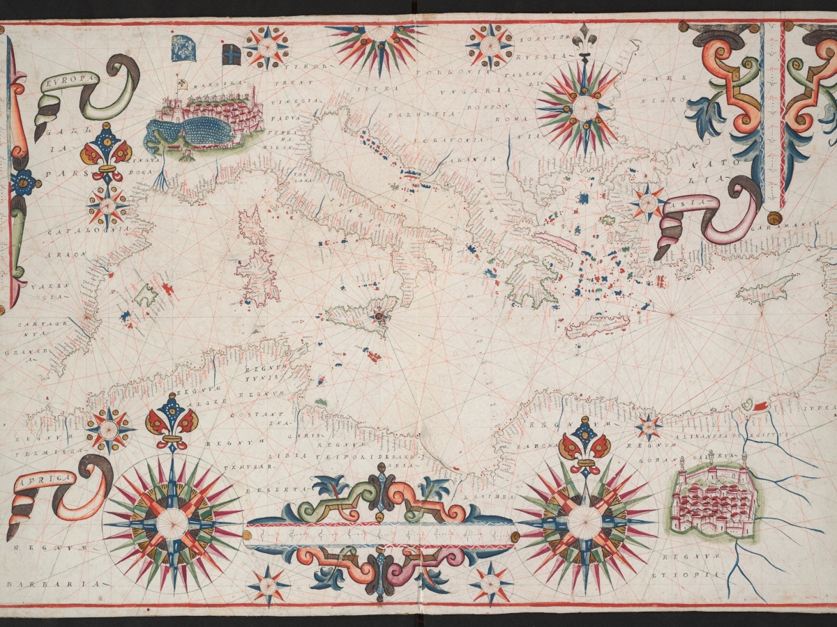
A range of places are represented here in city views, as well as in regional, global, and celestial maps from 1493 to the mid-17th century. The cases display early printed atlases beside surveying and navigational instruments from Harvard’s Collection of Historic Scientific Instruments. The Gerhard Mercator celestial and terrestrial globes opposite are the only set in the western hemisphere!
Along with advances in printing and surveying, this sample illustrates other major themes of Renaissance history. For one, we see the growth of European colonialism, which in turn expanded trade networks, propelled military technologies, and created new imperial wealth that helped to finance art and culture. We also see the caricaturing and misinterpretation of other cultures as Europeans ventured beyond familiar areas and fabricated a civilizational hierarchy with themselves at the pinnacle.
Maps encompass the real and the imagined, the known and the unknown. They also are a record of how we perceive the world from our specific perspective. The HMC is a world-class collection of maps that reflect the stunning artistry of the Renaissance. However, the real treasure is the inquiry and dialogue they hopefully inspire.