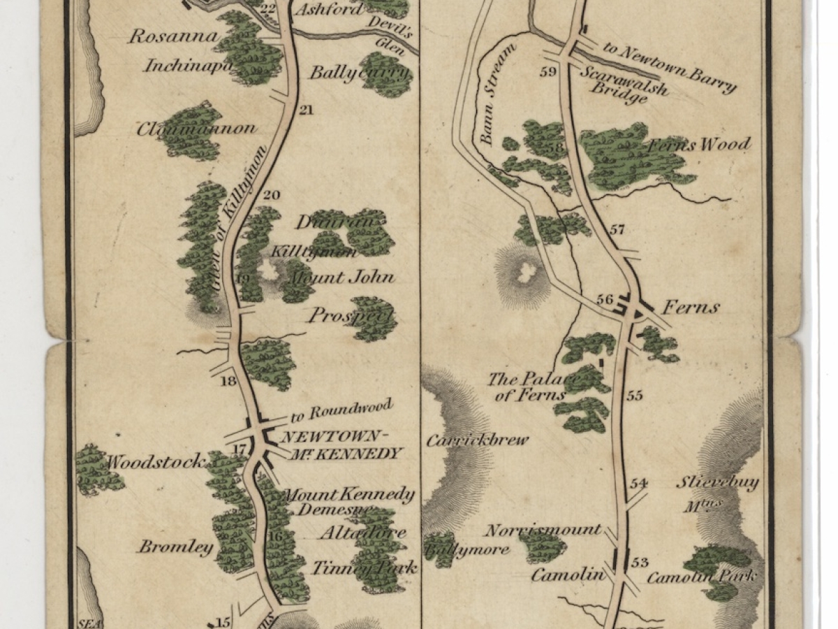
How much time, space, and energy do we devote to getting from one place to another? This exhibit explores the various ways that mapmakers in different times and places have communicated getting from point A to point B. Some of these wayfinding maps show great originality in this objective, but there are also certain conventions traceable across centuries. Many of these maps end up being linear and pared down to just what an individual reader might need to navigate a route.
We invite you to take a journey through the many routes brought together in the Harvard Map Collection and consider how we map movement.
Visitors will have the opportunity to map their own route. No appointment is needed to view this exhibit. Gallery talks on December 12 at 10:30am and January 15 at 4pm (see Harvard Library Events page for details).
This exhibit was curated by Molly Taylor-Poleskey of the Harvard Map Collection with design from Erinlea McGowan-Moniz.
