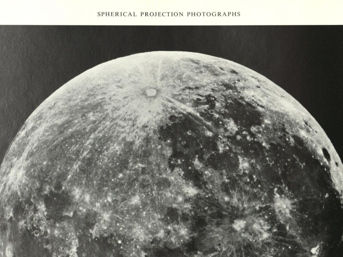
The push to map the entire Moon and the mission to land on the Moon mutually reinforced each other. More than a decade of mapping allowed the Apollo program to select a location and enabled Buzz Aldrin to pilot the Lunar Lander onto the Sea of Tranquility. In turn, mapping the Moon with precision relied on the motivation and funding provided by the decade-long push to walk on the Moon. With this support, engineers and cartographers developed new tools and methods to map the Moon by using, for the first time, photographs taken from outside the Earth’s atmosphere.
Exhibit
Virtual: Mapping the Moon in Black and White
A Harvard Map Collection Digital Exhibit
Sep 9, 2020 through Feb 15, 2023
Open to the public