Charting Independence presents maps that the Harvard Map Collection contributes to the collaborative database, American Revolutionary Geographies Online (ARGO). As the oldest map collection in the United States, the Harvard Map Collection is an important source for the history of the deployment of news about the American Revolutionary War. These maps are in French and English, reflecting the colonists' need to attract support from the French crown. Different theaters of war are represented from the early days of the conflict in Massachusetts, to the British campaign in the South, to Oneida County, New York and into Canada. Throughout, maps helped eighteenth-century readers—near and far from the battles—understand the scope and course of the war.
Exhibit
Charting Independence
Revolutionary War Maps from the Harvard Map Collection
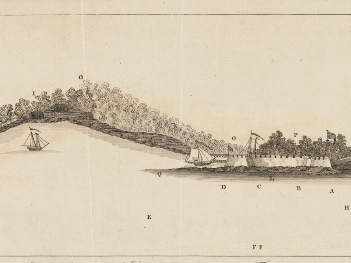
James Faden. A N.b.E. view of the fort on the western end of Sulivans Island : with the disposition of His Majesty’s fleet. London, 1776.
Credit: Harvard Map Collection G3914_C3_2F5S3_1776_J3
Credit: Harvard Map Collection G3914_C3_2F5S3_1776_J3
Opens Friday, May 15, 2026
Open to the public
Location
Corridor gallery, Pusey Library, Harvard Yard
Harvard Map Collection
Harvard Map Collection