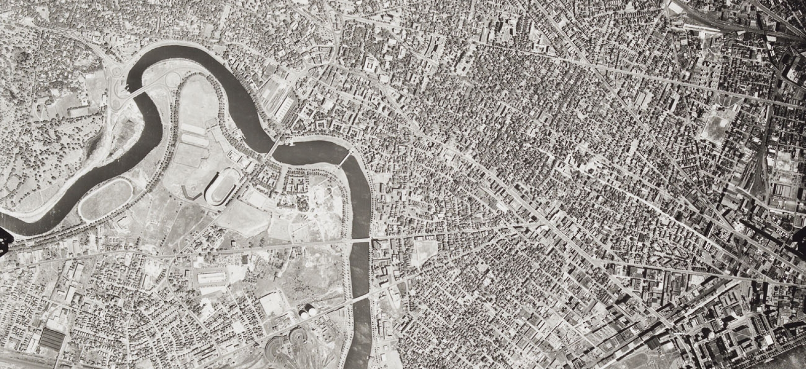
Part of Middlesex County, MA. United States. Department of Agriculture. 1952
Harvard Map Collection
Aerial photography and satellite imagery refer to images taken, vertical or oblique, from an aircraft or orbiting satellite.
This collection contains:
- 1952 aerial photos of Essex, Middlesex, Norfolk, Plymouth, and Suffolk counties at 1:20,000, 9x9 prints
- print-format 1977 aerial photos of Boston at 1:2,400
- print-format 1992 aerial photos of Boston at 1:5,000
- digital 1947 aerial photos of Cambridge
- digital satellite imagery for Boston, 1995
We also hold a small collection of other miscellaneous aerial photography and satellite imagery in paper format and on disk, including:
- print-format aerial photos of Manhattan, 1976 & 1994 at 1:12,000
- digital satellite imagery for major cities in Canada (various dates)
- digital satellite imagery for Dar es Salaam region, Tanzania, 2009
Accessing These Materials
These materials can be found in HOLLIS and requested for use in the Map Collection reading room using the request item link.
The 1952 aerials of Boston are stored off site, but have been scanned.
Please ask a librarian for assistance before requesting the prints be returned from storage.