Charting Independence presents maps that the Harvard Map Collection contributes to the collaborative database, American Revolutionary Geographies Online (ARGO).
As the oldest map collection in the United States, the Harvard Map Collection is an important source for the history of the deployment of news about the American Revolutionary War. These maps are in French and English, reflecting the colonists' need to attract support from the French crown.
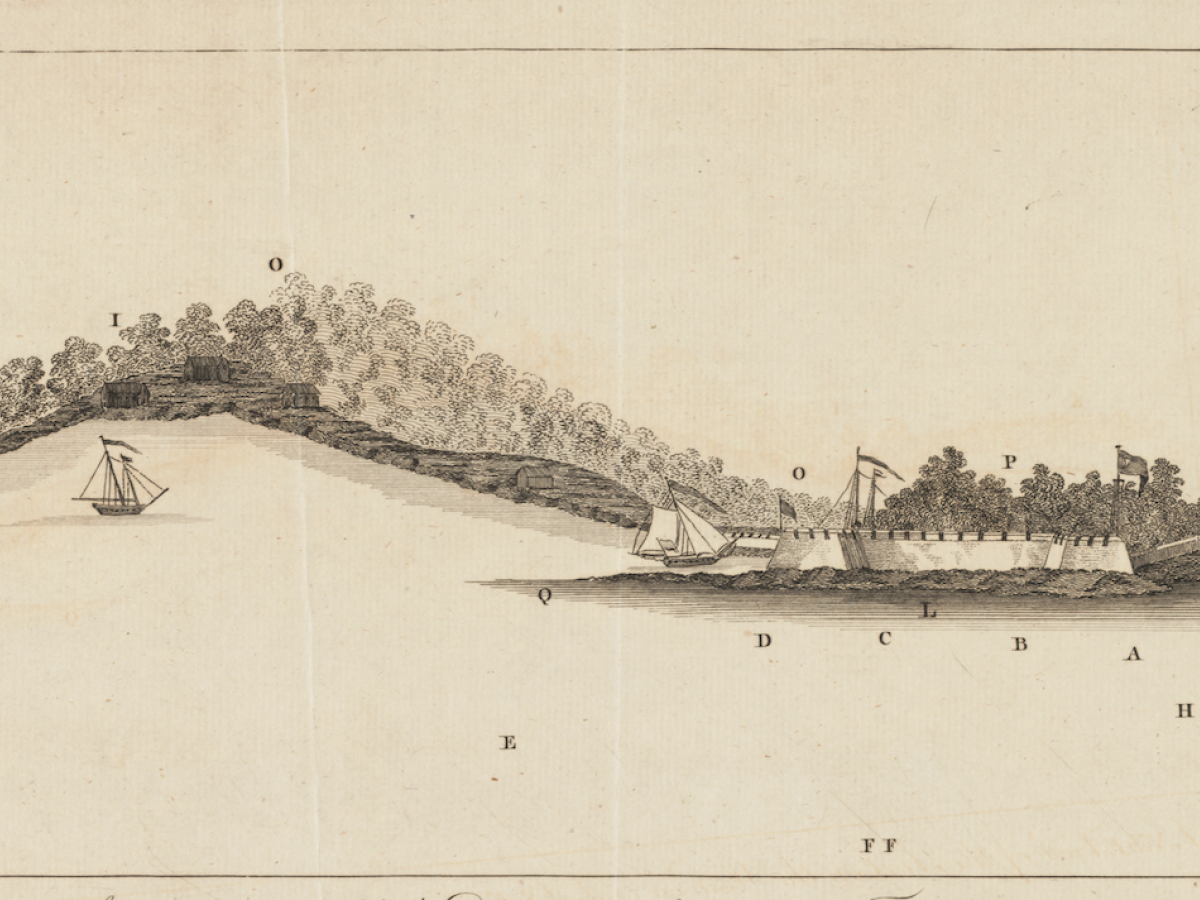
Different theaters of war are represented from the early days of the conflict in Massachusetts, to the British campaign in the South, to Oneida County, New York and into Canada. Throughout, maps helped 18th-century readers—near and far from the battles—understand the scope and course of the war.